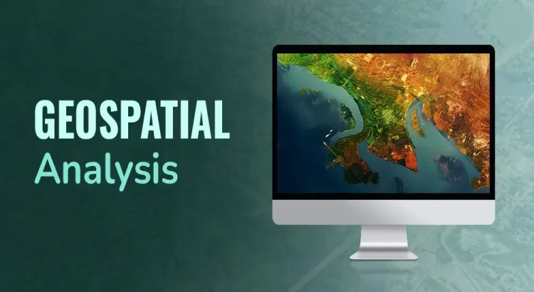
I will create gis maps and perform geospatial analysis using qgis and arcgis

About this Service
Need professional GIS mapping or geospatial analysis services?
I will create accurate, visually appealing GIS maps and perform advanced spatial analysis using QGIS and ArcGIS. Whether you need land use mapping, environmental analysis, site selection, remote sensing, or custom cartographic products, I can deliver high-quality results tailored to your requirements.
Services Include
✔ GIS Map Creation
✔ ArcGIS and QGIS Projects
✔ Spatial Data Analysis
✔ Buffer and Overlay Analysis
✔ Land Use and Land Cover Mapping
✔ Geocoding and Data Visualization
✔ Site Suitability Analysis
✔ Network Analysis
✔ Terrain and Elevation Analysis
✔ Remote Sensing Applications
✔ Cartographic Design
✔ GIS Reports and Documentation
Software & Tools
ArcGIS Pro
ArcMap
QGIS
Google Earth Pro
ERDAS Imagine
ENVI
PostgreSQL/PostGIS
Deliverables
GIS Project Files
High-Resolution Maps (PDF, PNG, JPG)
Spatial Analysis Reports
Shapefiles and Geodatabases
Interactive Mapping Outputs
Basic Package – GIS Mapping
$40 – $100
Includes:
Simple GIS map creation
Data visualization and styling
One thematic map
High-resolution PDF/PNG output
1 revision
Delivery: 2 Days
Standard Package – Spatial Analysis Project
$120 – $300
Includes:
GIS mapping and spatial analysis
Data cleaning and processing
Buffer, overlay, and proximity analysis
Multiple map layouts
Project report
3 revisions
Delivery: 5 Days
Premium Package – Advanced Geospatial Analysis
$350 – $1,000+
Includes:
Complex GIS and geospatial analysis
Remote sensing data processing
Suitability and site selection analysis
Network and terrain analysis
Interactive maps and dashboards
Comprehensive report and source files
Unlimited revisions
Delivery: 7–10 Days
Service Features
- ● BASIC GIS
- ● RASTER AND IMAGE CLASSIFICATION
About the Seller
From
United Kingdom
Member Since
Aug 2025
Skills:
Compare packages
| Package |
$30.00
Basic
|
$60.00
Standard
|
$90.00
Premium
|
|---|---|---|---|
| Revisions | 1 | 1 | 1 |
| Delivery Time | 1 Days | 2 Days | 2 Days |
| BASIC GIS | |||
| GIS ANALYSIS | |||
| RASTER AND IMAGE CLASSIFICATION | |||
| Total | $30.00 | $60.00 | $90.00 |
Basic
Related Services
Electrical & Electronics design
Top Seller
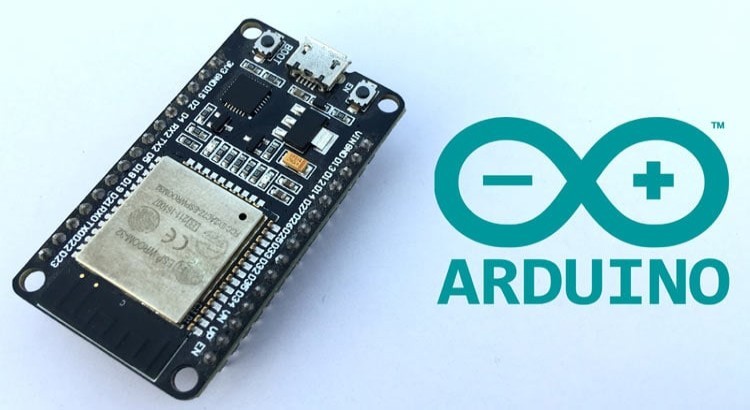
do arduino esp32 stm32 programming and iot projects
Electrical & Electronics design
Top Seller
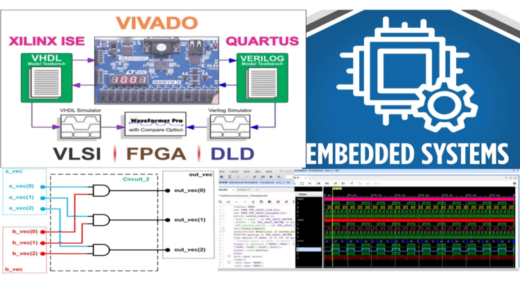
I will do matlab embedded system design fpga, verilog, vhdl using quartus, vivado, xilinx projects

Electrical & Electronics design
Top Seller
I will do matlab video processing , matlab programming , multisim , image processing projects

Electrical & Electronics design
Top Seller
I will do power electronics design projects & reports
Electrical & Electronics design
Top Seller
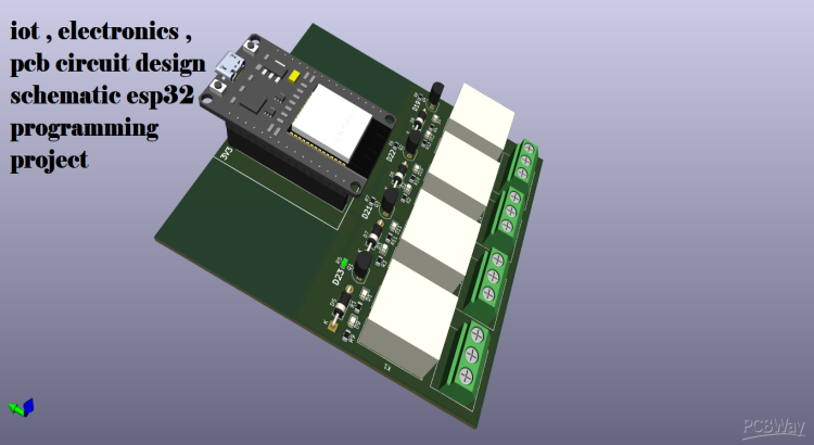
I will do iot , electronics , pcb circuit design schematic esp32 programming project

Electrical & Electronics design
Top Seller


Join as a freelancer or client
Join as a Freelancer
Join as a Client